|
What would Chaohu Lake look like from space?Chaohu-1 captured images of Chaohu Lake in Hefei, Anhui province on March 6, one week after its successful launch. After interpretation and verification, the image quality is fine and the it has been archived for data processing and thematic application services at present. On February 27, after launching into orbit, the "Chaohu-1" radar was officially turned on for imaging and transmitted images of the target area after attitude adjustment,data transmission and energy system inspection. Once rapid processing by the satellite ground system, the data will be immediately imaged as long as it is transmitted. Satellite Chaohu-1 has the continuous imaging capability of regional multi-point targets, precise orbit determination capability,in-orbit imaging processing and AI processing function.Based on the characteristics of SAR remote sensing satellites to obtain remote sensing images stably all day long,the Chaohu-1 satellite will have a six-hour emergency imaging capability to provide more accurate,efficient and reliable SAR satellite remote sensing data,providing services to China's natural resources, disaster prevention and mitigation,deformation monitoring,safety management control,environmental protection and many other fields. 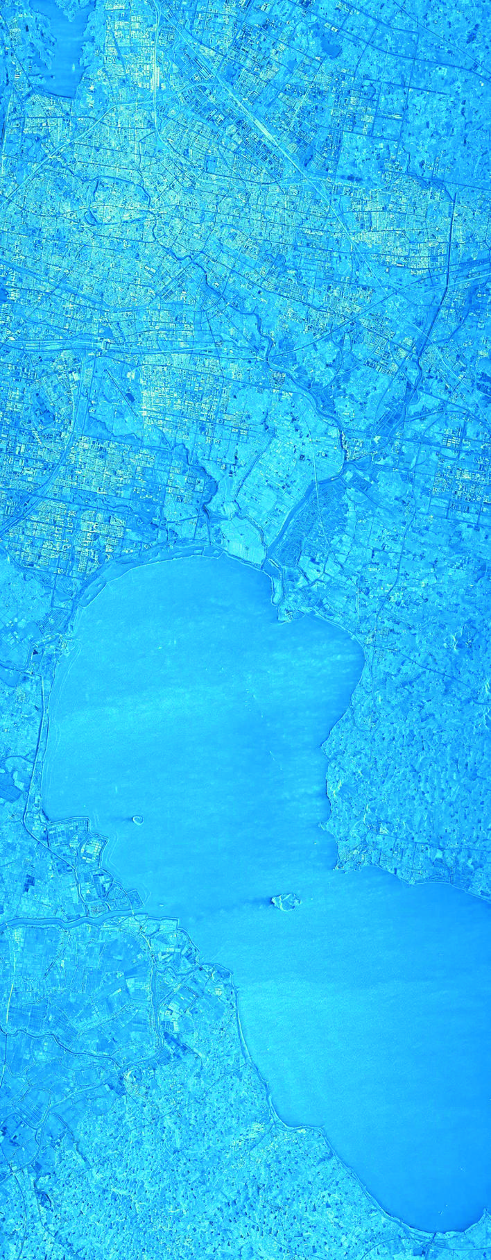
|



 Related News